Share The Future of Agriculture in Dufferin on FacebookShare The Future of Agriculture in Dufferin on X (formerly Twitter)Share The Future of Agriculture in Dufferin on LinkedinEmail The Future of Agriculture in Dufferin link
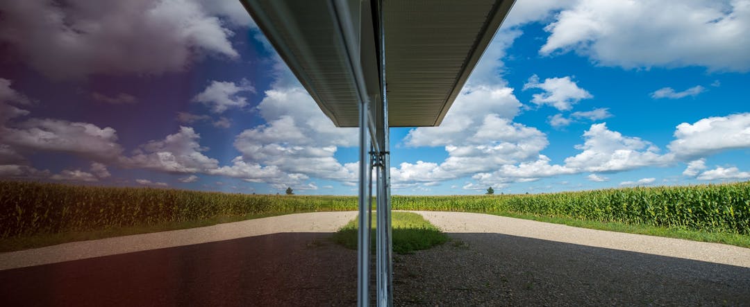
Did you know that 70% of the land in Dufferin County is Prime Agricultural Land?
These areas generally represent large connecting blocks of land that allow current and future opportunities for agriculture.
Here is how can you get involved:
Learn more about the MCR process! Read through the important links listed to the right of the screen.
Speak to your local municipal planners (your local expert) about prime agricultural land issues in your community. Speak up for prime ag land to prevent loss to development or growth.
Participate below! View the mapping tool to see where prime agricultural land has been designated and share your ideas about how we can continue to protect and preserve this important asset.
The County is currently reviewing the Official Plan and one of the Key areas when updating this document is to protect and preserve AGRICULTURE! This includes the Review of the Provincial Agricultural System Mapping with the local municipalities to determine what areas should be protected and where some conflicts and adjustments may be needed.
We want to hear your thoughts on protecting this important asset from urban development, as well as opportunities and challenges you see! You also have the opportunity to speak directly to your local municipality on this topic.